3D GIS & Digital Twins — see them working, not just described.
Seven live demos built on CesiumJS and open standards (3D Tiles, IFC, GeoJSON). Each one is a working system — data pipeline, API, database and 3D client — not a video or a mock-up.
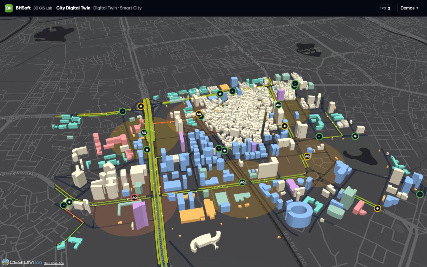 Live: City Digital Twin →
Demos
Open any demo in the browser — desktop or mobile, no install. Scenes sit on real Hanoi geography from OpenStreetMap; operational data (sensors, inspections, schedules, scans) is simulated, so we can show every feature without exposing client projects.
What each demo proves
Mapped to the four service areas on our 3D GIS solution page.
Beyond visualization
The 3D view is the visible part. The demos are built the way we deliver production systems.
Data pipelines
IFC → georeferenced geometry in WASM, point clouds → LOD-tiled 3D Tiles, GIS → extruded city models. Reproducible generators, documented formats.
APIs & integrations
FastAPI services: IoT streaming (SSE), asset/inspection/work-order CRUD with validation, CSV reporting, replay of any point in time.
Performance
Batched primitives, per-instance styling, streaming LOD, request-render. Real FPS and load times are measured in visitors' browsers and published.
Deployment
One container, Docker Compose, reverse-proxy ready. Swap the simulators for device feeds, PostGIS or a time-series DB.
From our case studies
Client projects stay under NDA, so three demos rebuild their core workflows with simulated data on real geography.
POC 3D City Visualization with Cesium
City-scale exploration, multi-layer geospatial visualization.
→ City Digital TwinTunnel Construction Management System
Construction progress, geospatial information and field monitoring in one place.
→ Underground & TunnelRoad & Bridge Management System
Inspection records, maintenance activities and asset conditions.
→ Asset ManagementHave GIS, BIM or scan data of your own?
Several demos load your GeoJSON or IFC directly in the browser. For larger datasets, we run a short proof of concept.